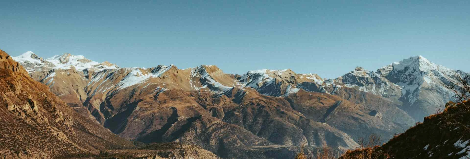
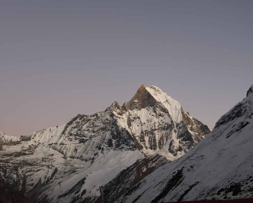
There's a reason trekkers keep coming back to the Annapurna Circuit trek even as newer, flashier routes get marketed across Nepal. Over roughly two weeks of walking, you pass through terraced rice paddies that look like something off a mountain village calendar, climb through pine and rhododendron forest thick with the smell of damp bark, cross a wind-scoured high desert that resembles Tibet more than Nepal, and eventually stand gasping at 5,416 meters on Thorong La Pass with prayer flags snapping so hard in the wind they sound like gunfire.
Few treks on earth pack in this much variety. The Annapurna Circuit route wraps around the entire Annapurna massif, so instead of walking toward one viewpoint and back the way you came, you keep moving forward, watching the world change completely every couple of days. Subtropical valleys give way to apple orchards, apple orchards give way to juniper scrub, and juniper scrub gives way to bare scree and glacier before dropping into the dry, wind-scoured gorge of the Kali Gandaki.
Here's a quick look at the shape of the whole route before getting into it stage by stage:
| Section | Key Waypoints | Altitude Range | Terrain |
|---|---|---|---|
| Lower valley | Besisahar → Chame | 823m – 2,710m | River trail, suspension bridges, subtropical forest |
| High valley | Pisang → Manang | 3,300m – 3,519m | Juniper scrub, glacial valley, alpine village |
| High desert | Yak Kharka → Thorong Phedi | 4,090m – 4,450m | Treeless grassland, scree, wind-exposed slopes |
| The pass | Thorong La → Muktinath | 5,416m → 3,800m | Frozen ground, snow, steep scree descent |
| Mustang | Kagbeni → Jomsom → Marpha | 3,800m – 2,720m | Arid high desert gorge, apple orchards |
This guide walks through each of these Annapurna Circuit waypoints in order, with the kind of detail you need for planning teahouses and acclimatization, not just admiring photos.
Best Time to Go, Permits, and How Long It Takes
Best season.
The trekking window runs from September to late December and again from February to late June. Autumn is when the trail is busiest, cold at night but dry underfoot, with sharp views of Annapurna, Manaslu, and Dhaulagiri holding all day. Late winter and early spring bring warmer days in the lower valleys and rhododendron forest coming into bloom, though afternoon cloud can build up around the high peaks by then.
| Season | Months | What to expect |
|---|---|---|
| Autumn (best) | Sept – Dec | Clear skies, cold nights, dry trails, busiest season |
| Late winter to spring | Feb – June | Rhododendrons blooming, warmer lower down, some afternoon haze |
| Monsoon | Roughly July – Aug | Muddy trails, obscured views, generally avoided |
Permits
You need two documents:
- ACAP (Annapurna Conservation Area Permit) – covers the whole region and funds local conservation work
- TIMS card (Trekkers' Information Management System) – tracks who's on the trail for safety reasons
Nepal now requires all foreign trekkers on this route to walk with a licensed guide, so solo trekking without one is no longer possible. Sort this out before you land rather than at the trailhead. For a fuller rundown on documentation and general trail logistics, Outshine Adventure's trekking information page covers what to expect before departure, and their essential travel checklist is a useful packing reference. It's also worth sorting proper travel insurance before you fly, since altitude evacuation isn't something you want to be figuring out on the trail.
Duration.
The standard itinerary runs 16 days, including two days in Kathmandu for briefing and sightseeing at the start and two more at the end for the return drive and departure. The actual trekking portion, from Syange to Jomsom, covers about 11 days on the trail. Give real weight to the acclimatization day at Manang and the two short days either side of Yak Kharka, they exist specifically to protect the pass crossing, and skipping or rushing them is where most altitude problems start. For a full cost breakdown of what a trip like this runs, Outshine Adventure's Annapurna Circuit Trek cost guide lays out pricing by group size and season.
The Lower Trail: Besisahar to Chame
Besisahar and Syange
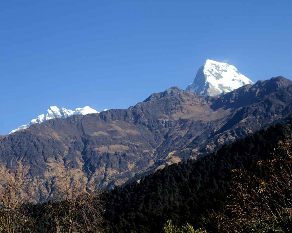
Most trekkers reach Besisahar by road from Kathmandu, a long drive of around six hours that follows the Trishuli River before turning north into the Marsyangdi valley. From Besisahar, at 823 meters, a local jeep continues along a rougher mountain road through Bhulbhule and Ngadi to Syange, at 1,150 meters, where the trek properly begins on foot. First views of Himalchuli appear as the road climbs into the hills, a preview of the bigger peaks still to come.
- Last stretch of proper road before the trail takes over
- Warm, humid air typical of lowland Nepal, with mango trees and buffalo grazing along the roadside
- Good place to double check permits are in order before the trail gets remote
Chamje
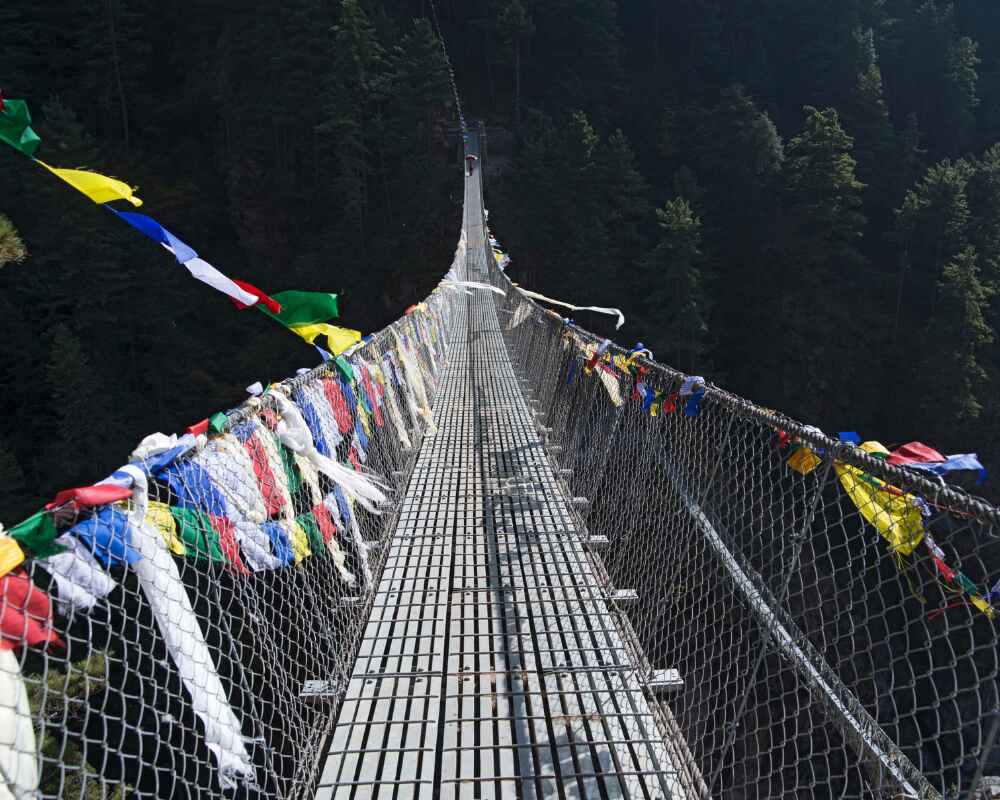
From Syange, the trail follows the Marsyangdi River upstream, crossing a string of suspension bridges over deep gorges. Waterfalls drop straight off cliff faces on the far side of the valley, and the canyon narrows noticeably. Jagat, a stone-built village marking the entry into the restricted Manang district, makes a good lunch stop. Beyond it, the trail climbs hard through dense forest before reaching Chamje at 1,430 meters.
- Teahouses here are simple, often a family home with a wood stove that becomes the social center of the building
- Dal bhat with seasonal greens is the reliable order
- Forest thickens noticeably compared to the lower valley
Dharapani
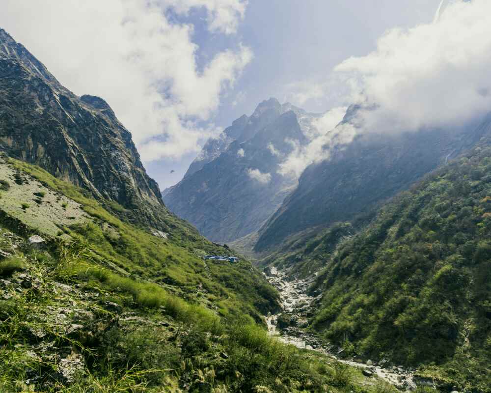
After crossing a suspension bridge out of Chamje, the trail climbs then drops into Tal, one of the more striking villages on the lower circuit. Tal sits on a flat glacial lakebed hemmed in by towering canyon walls, with a waterfall pouring directly into the valley floor behind it. Past Tal, the trail narrows through rock-cut passages before opening again through Karte and rhododendron forest to Dharapani, at 1,890 meters.
- This is where the Annapurna Circuit route meets the trail coming in from the Manaslu Circuit to the east
- Architecture starts shifting toward stone and flat roofs, more typically Tibetan-influenced
- Prayer wheels and mani walls begin appearing along the trail (pass them on the left)
Chame
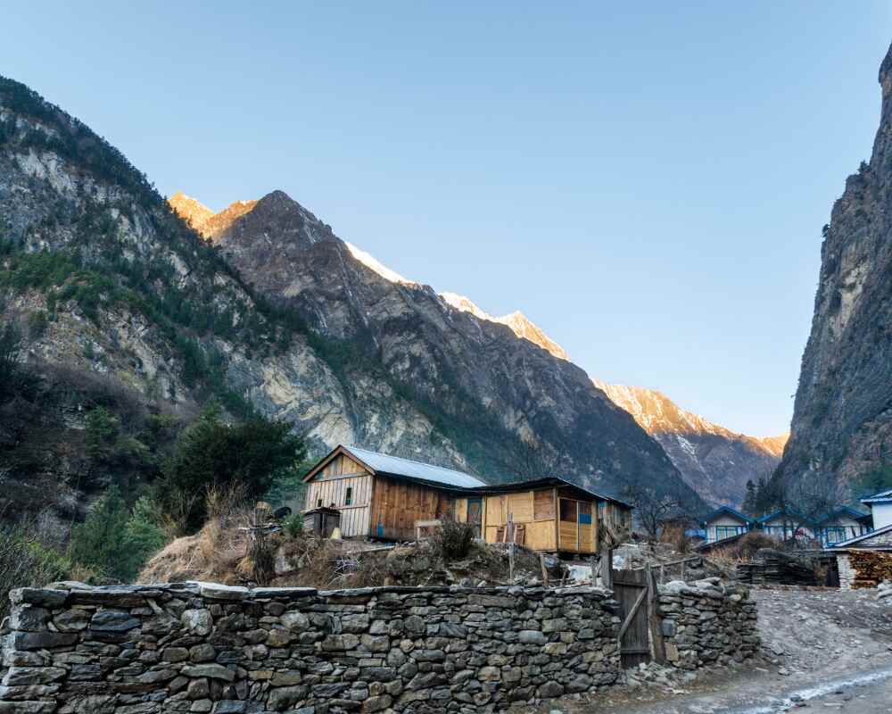
Leaving Dharapani, the valley opens up and the vegetation shifts, dense subtropical forest giving way to pine and juniper. The villages of Bagarchhap and Danaque along this stretch show strong Tibetan influence in their architecture and prayer walls. The first clear view of Annapurna II, at 7,937 meters, appears above the treeline as you close in on Chame, at 2,710 meters, the administrative headquarters of the Manang district.
- Banks, shops, and a small hospital, the last real infrastructure before the trail gets remote
- Apple orchards start appearing on the approach and continue into the next stage
- A good spot to sort last-minute logistics before heading higher
Into the High Valley: Pisang to Manang
Pisang
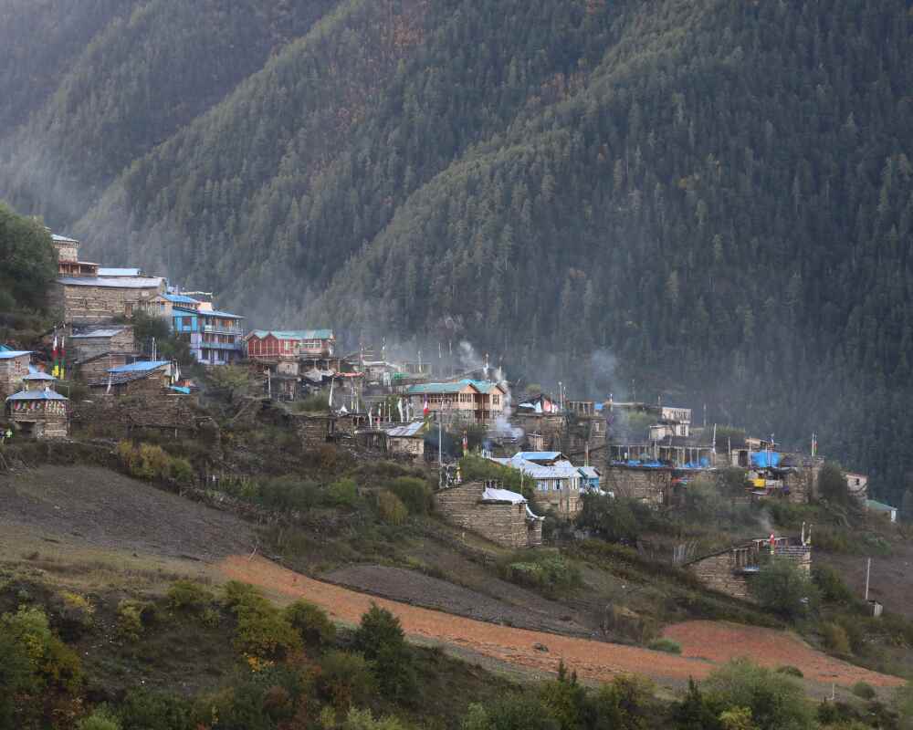
The trail passes beneath a dramatic curved rock face above the Marsyangdi River before climbing through apple orchards into the broad Paungda Danda valley. The enormous rock wall that gives the valley its name dominates the eastern skyline, while Pisang Peak, at 6,091 meters, comes into clear view as the village approaches. Upper Pisang sits on a ridge above the main trail and has an old monastery with wide views across the Manang valley.
- Whitewashed Tibetan-style houses and yak herds make this one of the most photogenic stretches on the circuit
- Trees start thinning out here, juniper and scrub replacing pine
- Ground underfoot turns drier and rockier from this point on
Trekkers with a strong head for heights and a bit of extra time sometimes tack on Pisang Peak Climbing here as an add-on before continuing to Manang.
Manang
Two route options exist between Pisang and Manang:
| Route | What it offers |
|---|---|
| Lower valley route | Passes through Humde, which has a small airstrip with seasonal flights to Pokhara |
| Upper route (via Ghyaru and Ngawal) | Follows a high ridge with strong views of Annapurna II, III, and IV, recommended on clear days |
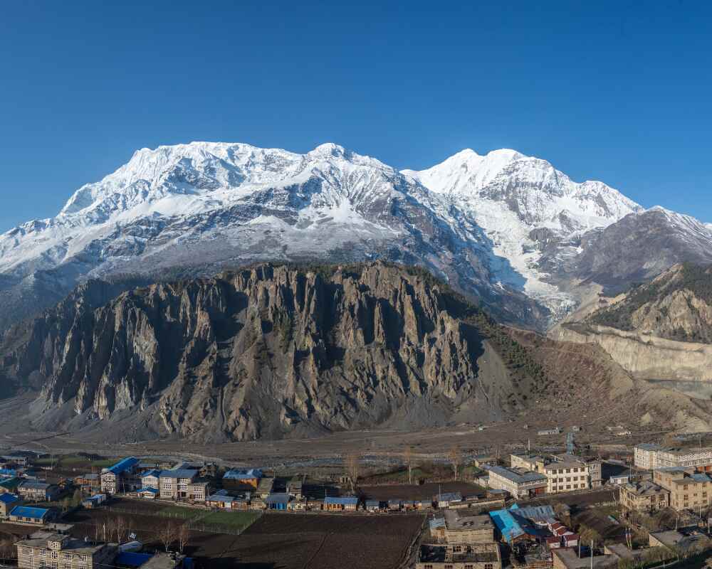
Both routes converge before Braga, where an old monastery perched above the village is worth a short detour, then continue into Manang, at 3,519 meters, the largest settlement in the upper circuit.
Manang has a good spread of teahouses, a couple of bakeries selling apple pie, and a Himalayan Rescue Association clinic that matters more than it sounds. This is where the built-in acclimatization day sits, and it's worth treating seriously rather than as an optional extra:
- Climb the ridge above the village for close-up views of Annapurna II, III, and Gangapurna
- Walk down to Gangapurna Lake, a milky turquoise pool fed by the glacier
- Hike up to Praken Gompa monastery above town
- Attend the free altitude sickness talk the Himalayan Rescue Association clinic runs most afternoons around 3pm
If time allows, this is also the jumping-off point for a side trip to Tilicho Lake, one of the highest lakes in the world, for trekkers extending the standard itinerary. For more on recognizing and managing symptoms at this altitude, Outshine Adventure's high altitude sickness guide is worth reading before you get here, not after.
The High Desert: Yak Kharka to Thorong Phedi
Yak Kharka
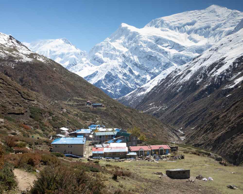
This stage is short by design, climbing steadily above Manang and quickly leaving the treeline behind for open grassland grazed by yak herds. Architecture shifts to stone construction decorated with yak skulls, a traditional feature of high-altitude settlements in this region. Views of Chulu East, Chulu West, and the wider Annapurna range open up as altitude increases.
- Constant, dry wind pushes down the valley, making short walks feel more tiring than the distance suggests
- Reaching Yak Kharka, at 4,090 meters, early leaves time to rest and hydrate before the harder days ahead
- Altitude becomes daily dinner-table conversation: headaches, appetite, sleep quality
Thorong Phedi
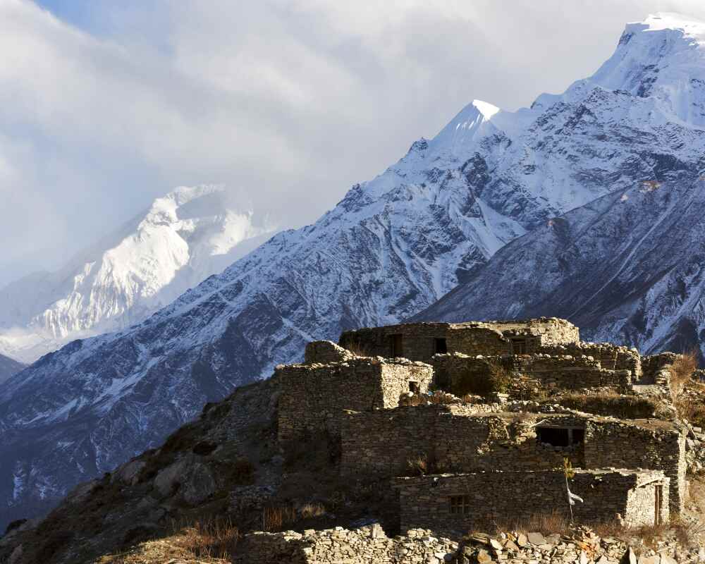
Another intentionally short day, built to give the body maximum time to adjust before the biggest challenge of the trek. The trail crosses the Jarsang Khola on a wooden bridge and climbs steadily through rocky terrain to Thorong Phedi, at 4,450 meters, which sits directly at the base of the pass.
- Teahouses fill up early with trekkers preparing for the pre-dawn departure
- Bowl of rock and scree, almost nothing green in sight
- Early dinner and lights out not long after, since the next day starts before dawn
Thorong La Pass and the Descent to Muktinath
Thorong La Pass
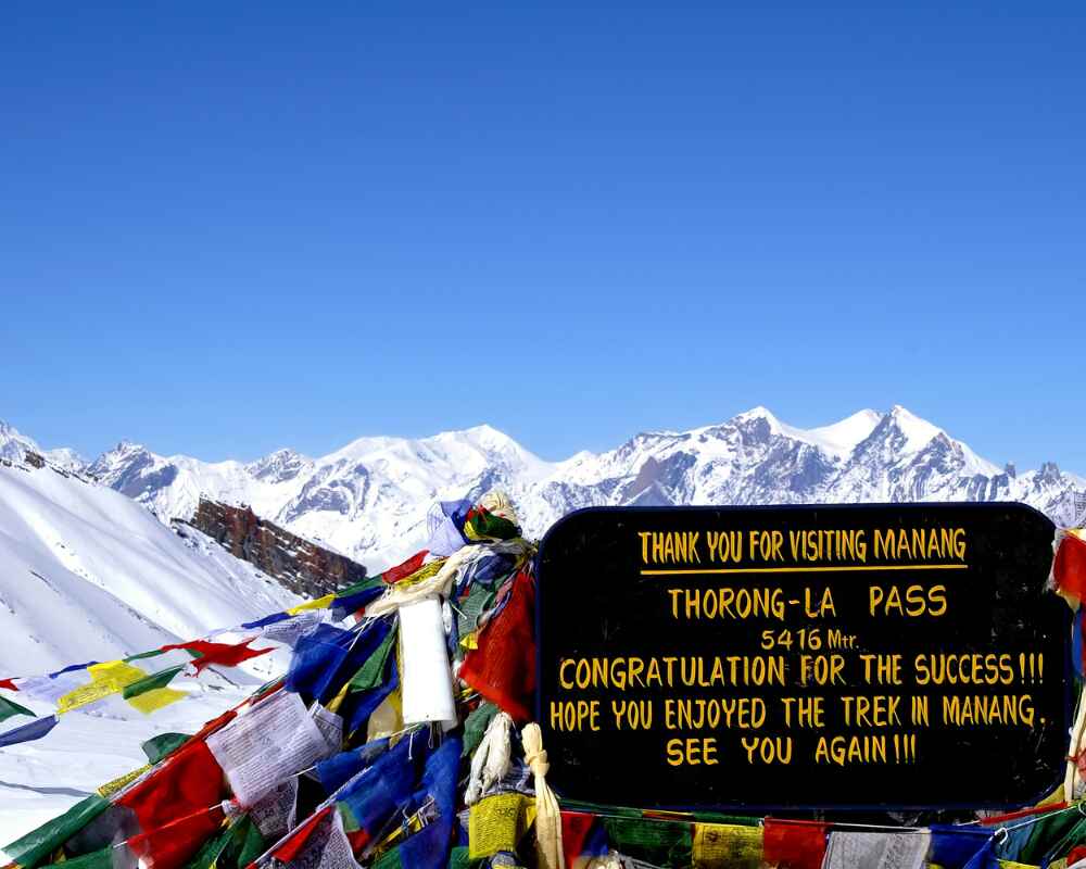
This is the day the whole trek builds toward. Departure is before dawn, usually between 4am and 5am, timed to get over the pass and well down the other side before the afternoon wind picks up. The climb to the top takes 4 to 5 hours over rocky ground and, depending on the season, snow-covered ridgelines.
| Factor | Detail |
|---|---|
| Departure time | 4:00 – 5:00am |
| Ascent time | 4 – 5 hours |
| Summit altitude | 5,416m |
| Descent to Muktinath | Nearly 1,600m over 2 – 3 hours |
| Total day | 7 – 8 hours |
At the summit, prayer flags and stone cairns mark the highest point of the trek. On a clear morning the view opens out across the Himalayas in every direction. The descent that follows is steep and drops fast, hard on the knees after a summit push that's already emptied the tank.
Muktinath
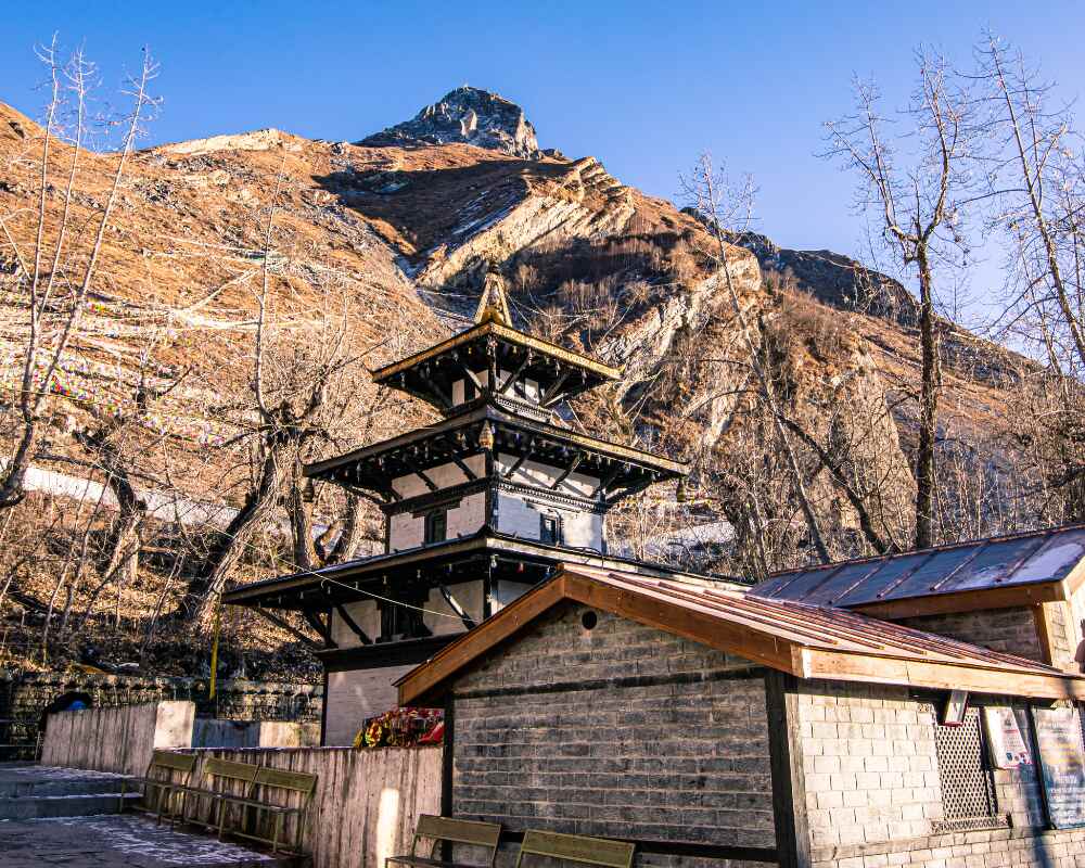
Muktinath sits at 3,800 meters and ranks among the most important pilgrimage sites in the Himalayan region, sacred to both Hindus and Buddhists. After the wind and cold of the pass, arriving here feels like stepping into a different world.
- Temple complex with stone water spouts where pilgrims take ritual baths regardless of the cold
- An eternal flame said to burn from a natural gas vent, sacred in both religions
- Noticeably warmer air and a steady trickle of pilgrims moving through the grounds
Some trekkers choose to end their trip here and fly or drive back rather than continuing the full circuit. If that sounds like a better fit, the shorter Jomsom Muktinath Trekking package covers just this section of the route.
Mustang and the Kali Gandaki: Kagbeni to Jomsom
Kagbeni
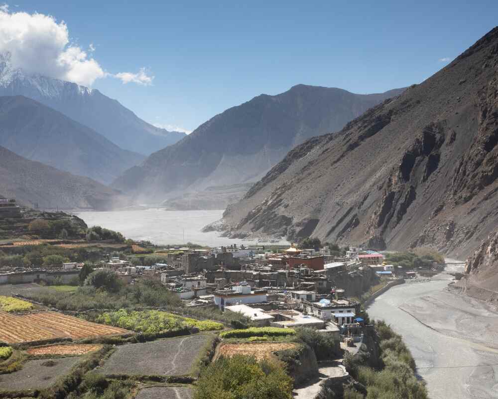
The trail out of Muktinath drops into the rain shadow of the Himalayas, and the change in scenery is abrupt. Within a few hours the landscape turns into a stark, arid plateau that looks more like the Tibetan plateau than anywhere else on the circuit. Kagbeni, a medieval fortified village on the banks of the Kali Gandaki, is the gateway to the restricted Upper Mustang region.
- Narrow alleys, old chortens, and a fortress-like feel to the whole settlement
- Worth a proper look during a lunch stop rather than rushing through
- First real taste of the high desert terrain that defines the rest of this stage
Trekkers who fall for this landscape sometimes come back separately for the longer Upper Mustang Trekking route, which pushes further north into the restricted zone beyond Kagbeni.
Jomsom and Marpha
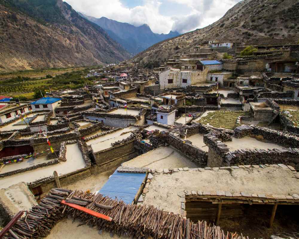
Continuing south along the Kali Gandaki, the world's deepest gorge, the wind builds through the afternoon into a steady, forceful push up the valley. Jomsom, at 2,720 meters, is the administrative center of the Mustang region and has more infrastructure than anywhere since Chame.
A detour through Marpha is strongly worth the extra time. Marpha is known across Nepal for its apple orchards and apple brandy distilleries, and the narrow, paved streets lined with whitewashed houses smell faintly of brandy distilling somewhere behind a courtyard wall.
- Try dried apple rings, apple pie, and the local apple brandy
- A Thakali set meal here is widely considered some of the best food on the whole circuit
- Mornings are calm; afternoons bring the gorge's characteristic wind, so plan walking for earlier in the day
The Return to Pokhara
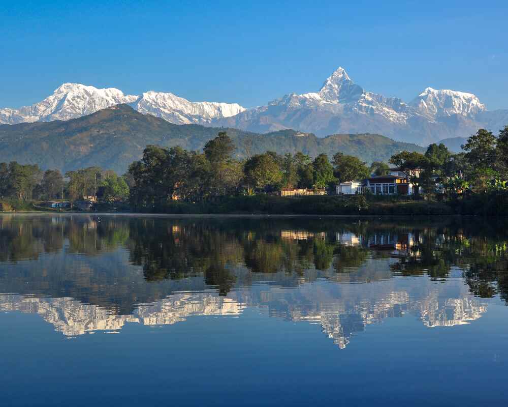
From Jomsom, the route south to Pokhara follows the Kali Gandaki through dramatic canyon country, passing through Marpha again, then Tukuche, Larjung, and Beni, before the terrain gradually softens into the green hill country around Pokhara. The contrast on arrival is sharp: after days in high alpine desert, the warmth and greenery around Phewa Lake feels almost tropical.
What to Expect Physically, Day to Day
The Annapurna Circuit trek is rated strenuous, and the daily walking figures back that up.
| Stage | Walking Time | Terrain | Key Concern |
|---|---|---|---|
| Besisahar/Syange – Chame | 5 – 6 hrs/day | River trail, suspension bridges, forest | General fitness, blisters |
| Chame – Manang | 5 – 6 hrs/day | Rockier trail, ridge routes | Early altitude adjustment |
| Manang – Thorong Phedi | 3 – 4 hrs/day | Open grassland, scree | Deliberately short for acclimatization |
| Thorong La crossing | 7 – 8 hrs | Rock, snow, steep descent | Altitude, cold, fatigue |
| Muktinath – Jomsom | 5 – 6 hrs | Arid plateau, gorge trail, wind | Fast altitude drop, afternoon wind |
A few things worth planning around:
- The short days around Yak Kharka and Thorong Phedi aren't padding, they exist to protect the pass crossing that follows
- Appetite tends to drop noticeably above 4,000 meters, so forcing down food and water matters more than it feels like it should
- Afternoon winds through the Kali Gandaki gorge are strong and predictable, which is why most walking on that stretch happens in the morning
Getting your gear right matters more here than on most treks. Outshine Adventure's trekking equipment guide covers what's worth bringing versus what you can rent or buy in Kathmandu.
A Practical Note Before You Go
If there's one piece of planning advice that matters more than gear lists or fitness routines, it's this: the days around Manang aren't there to pad out the itinerary, they're the reason the pass crossing works at all. Trekkers who arrive at Thorong Phedi undercooked on acclimatization, either because they rushed an earlier stage or skipped the rest day in Manang, are the ones who struggle on summit day or have to turn back. Use the acclimatization day properly, get up to Gangapurna Lake or Praken Gompa rather than sitting in a teahouse, and treat the short days at Yak Kharka and Thorong Phedi as recovery, not a slow start. The pass will still be there at 5,416 meters whether you're ready for it or not. Better to arrive ready.
Planning the Trek with Outshine Adventure
Reading through the waypoints is one thing, getting the timing, permits, and daily pacing right on the actual trail is another. Outshine Adventure runs the Annapurna Circuit Trek as a 16-day guided itinerary built around exactly the pacing described above: a full acclimatization day in Manang, deliberately short stages into Yak Kharka and Thorong Phedi, and an experienced local guide who knows when conditions favor an early start on pass day versus a delayed one.
If the full circuit is more than you're looking for right now, they also run shorter or adjacent routes worth considering:
- Annapurna Base Camp Trekking for a shorter, lower-altitude route into the Annapurna Sanctuary
- Jomsom Muktinath Trekking for a shorter route covering just the Mustang side of the circuit
- Tilicho Lake Trekking for an extended version of the full circuit with a detour to one of the highest lakes in the world
For the wider range of routes across the region, their Annapurna Trekking page lists everything they run in the area, and their blog has further reading on costs, permits, and trip planning. If you've got questions before booking, their contact page is the fastest way to reach a guide who's actually walked this route, not a call center reading from a script.