.webp)
.webp)
Manaslu Circuit Trek – Overview
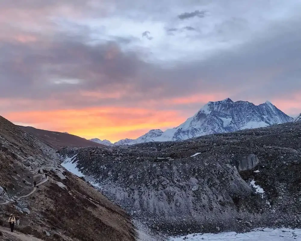
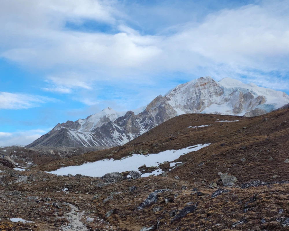
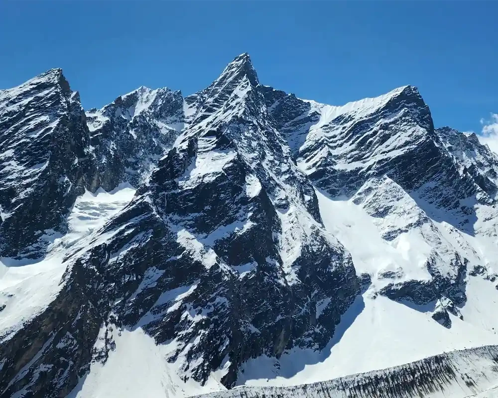
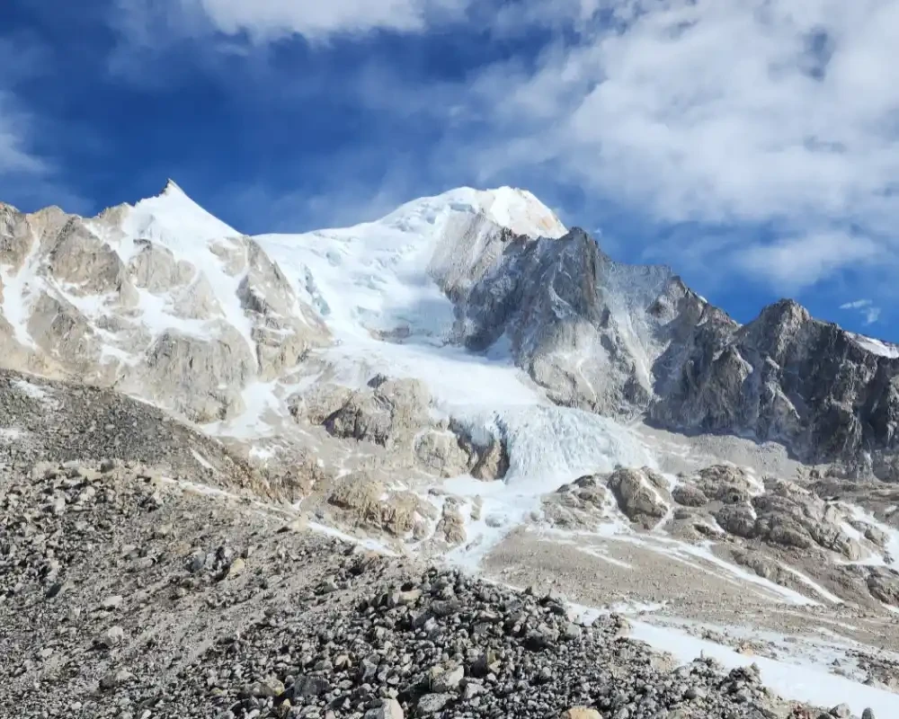
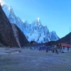
The Manaslu Circuit Trek is one of Nepal's most spectacular trekking experiences, offering a perfect blend of remote mountain landscapes, authentic Himalayan culture, and high-altitude adventure. Encircling Mount Manaslu (8,163 m), the world's eighth-highest mountain, this trek takes you through traditional Tibetan-influenced villages, deep river gorges, ancient monasteries, and the breathtaking Larkya La Pass (5,106m).
Located in the remote Gorkha district of Nepal, the Manaslu Circuit Trek remains less crowded than the Everest Base Camp Trek and Annapurna Circuit Trek, making it an excellent choice for trekkers seeking a more peaceful and authentic Himalayan experience. The trail follows the Budhi Gandaki River through lush forests, terraced farmlands, suspension bridges, and alpine valleys before reaching the dramatic high mountain landscapes near the Tibetan border.
A typical Manaslu Circuit Trek itinerary ranges from 14 to 17 days and provides gradual altitude gain for proper acclimatization. Along the route, trekkers encounter diverse ethnic communities including Gurung, Nubri, and Tibetan-origin villagers who have preserved their traditional culture, language, and way of life for centuries. Highlights include Sama Gaun, Samdo Village, Pungyen Gompa, Manaslu Base Camp, and the challenging crossing of Larkya La Pass, widely regarded as one of Nepal's most rewarding Himalayan passes.
Since the region lies within a restricted area, trekkers must obtain the required Manaslu Circuit Trek permits, including the Manaslu Restricted Area Permit (MRAP), Manaslu Conservation Area Permit (MCAP), and Annapurna Conservation Area Permit (ACAP). A licensed guide is mandatory, ensuring both safety and compliance with local regulations.
The Manaslu Circuit Trek cost varies depending on group size, season, transportation, accommodation preferences, and guide services. However, compared to many high-altitude treks worldwide, it remains an exceptional value considering the scenery, cultural immersion, and adventure it offers.
Whether you are an experienced trekker seeking a quieter alternative to Everest and Annapurna or a passionate mountain traveler looking to explore Nepal's remote Himalayan wilderness, the Manaslu Circuit Trek delivers an unforgettable journey through some of the most beautiful and untouched landscapes in the Himalayas.
Manaslu Circuit Trek – Short Itinerary
Day 1: Arrival in Kathmandu (1,400m)
Day 2: Kathmandu sightseeing and trek preparation
Day 3: Drive from Kathmandu to Machha Khola (930m)
Day 4: Trek to Jagat (1,340m)
Day 5: Trek to Deng (1,804m)
Day 6: Trek to Namrung (2,630m)
Day 7: Trek to Lho (3,180m)
Day 8: Trek to Sama Gaun (3,530m)
Day 9: Acclimatization day at Sama Gaun – optional hike to Manaslu Base Camp
Day 10: Trek to Samdo (3,865m)
Day 11: Acclimatization hike near Samdo
Day 12: Trek to Dharmasala (4,460m)
Day 13: Cross Larkya La Pass (5,106m) and descend to Bimthang (3,590m)
Day 14: Trek to Gho (2,515m)
Day 15: Trek to Dharapani (1,920m)
Day 16: Drive to Kathmandu via Besisahar
Day 17: Final departure
The Manaslu Circuit Trek cost depends primarily on group size, transportation, permit fees, accommodation, and guide services. Our package includes the required trekking permits, experienced licensed guide, accommodation during the trek, ground transportation, and logistical support throughout the journey. The larger the group, the lower the per-person cost, making it one of the most affordable ways to experience Nepal's remote Himalayan wilderness.
Group Price
| Group Size | Price Per Person |
|---|---|
| 2 – 6 Pax | US$995 |
| 7 – 12 Pax | US$895 |
| 13 – 20 Pax | US$830 |

-(1).webp)


 based on 2 reviews